1901811 1902264 2902246 2902782 2902783 2902785 2902787 2902813 2902815 3901160 5902335 5902365 5902390 5902392 5902397 5902429 5902435 5902491 5902504 5904058 5904339 5904353 5904545 5904727 5904729 5904796 5904807 5904861 5904915 5905011 5905103 5905171 5905172 5905190 5905237 5905240 5905249 5905303 5905407 5905413 5905438 5905439 5905442 5905458 5905477 5905647 5905658 5905664 5905665 5905673 5905677 5905682 5905711 5905722 5905769 5905971 5905975 5906002 5906119 5906120 5906137 5906142 5906147 5906266 5906268 5906302 5906347 5906614 5906623 5906626 6900900 6902760 6902905 6902927 6902940 6903215 7900615 7900628 7900685 7900864 7900871 7900896 7900908

Argo profiles in the Australian region

Temperature and salinity down to 2000m

[PREV] [NEXT] [DATE INDEX] [What's shown]
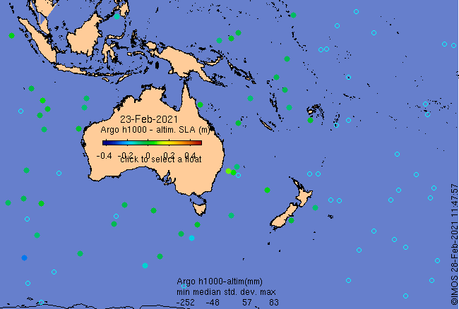
Click on the map below or choose a [WMO number] to see the temperature and salinity data from the selected float compared with satellite-adjusted climatology.

Depending on your settings, your browser may or may not open these links in a separate window.
If nothing seems to open, try right-click/open-in-new-window